For assistance in reading or understanding the information on this page, call us at (800) 553-5191.
Return to the non-accessible, interactive map
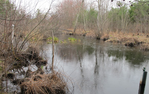
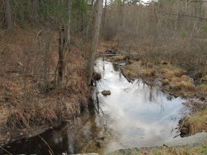
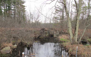
Monitoring Sites
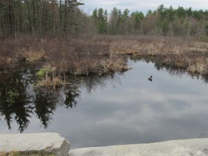
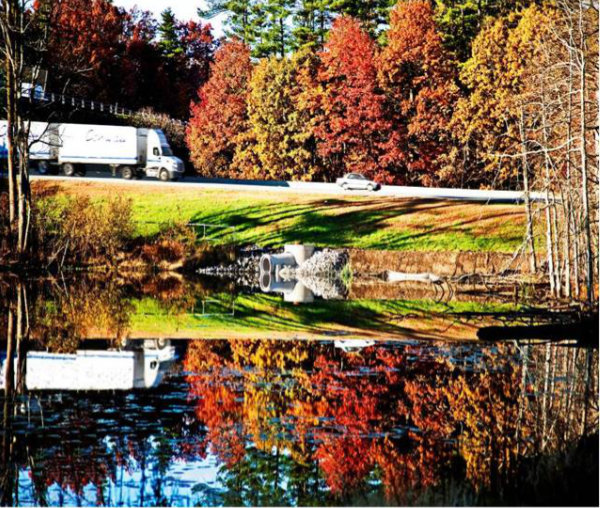
Nine tributary locations have been continuously monitored for flow and total phosphorus since 2007. Flow monitoring is performed to obtain an overall understanding of how streams, rivers, and ponds respond to precipitation throughout the watershed. Total phosphorus monitoring is performed because it is a key pollutant that can lead to excess algal growth. Total phosphorus monitoring is also performed at five in-pond locations to evaluate the water supply`s response to the phosphorus loads from the watershed. Groundwater monitoring for total phosphorus at the nine tributary sampling locations or nearby began in 2013 to help determine phosphorus loads coming from groundwater baseflow versus from stormwater runoff. These monitoring sites are shown on this layer with graphs of tributary phosphorus, groundwater phosphorus, and/or flow data.
In Pond Sites:
Sampling Location: 08-PEN
Pond: Bowers Pond
Subwatershed: Pennichuck Brook to Bowers Pond
Sampling Location: 07P-PEN
Pond: Bowers Pond
Subwatershed: Pennichuck Brook to Supply Pond
Sampling Location: 07F-PEN
Pond: Bowers Pond
Subwatershed: Pennichuck Brook to Supply Pond
Sampling Location: 06-PEN
Pond: Harris Pond
Subwatershed: Pennichuck Brook to Supply Pond
Sampling Location: 04-PEN
Pond: Harris Pond
Subwatershed: Pennichuck Brook to Supply Pond
Additional Sites:
 Sampling Location: 01-HAY
Tributary: Witches Brook
Subwatershed: Witches Brook South
 Sampling Location: 02-WCH
Tributary: Witches Brook
Subwatershed: Witches Brook South
 Sampling Location: 01-XWB
Tributary: Unnamed Tributary to Witches Brook
Subwatershed: Witches Brook East
 Sampling Location: 12-PEN
Tributary: Pennichuck Brook
Subwatershed: Pennichuck Brook to Pennichuck Pond
 Sampling Location: 01-WCH
Tributary: Witches Brook
Subwatershed: Witches Brook East
 Sampling Location: 09-XPB
Tributary: Unnamed Tributary to Pennichuck Brook
Subwatershed: Stump Pond Brook
 Sampling Location: 01-CML
Tributary: Unnamed Tributary to Pennichuck Brook
Subwatershed: Stump Pond Brook
 Sampling Location: 01-MUD
Tributary: Muddy Brook
Subwatershed: Muddy Brook
 Sampling Location: 09T-PEN
Tributary: Pennichuck Brook
Subwatershed: Pennichuck Brook to Holts Pond
 Sampling Location: 09-PEN
Tributary: Pennichuck Brook
Subwatershed: Pennichuck Brook to Bowers Pond
 Sampling Location: 01-BFB
Tributary: Pennichuck Brook
Subwatershed: Boire Field Brook
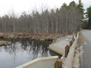
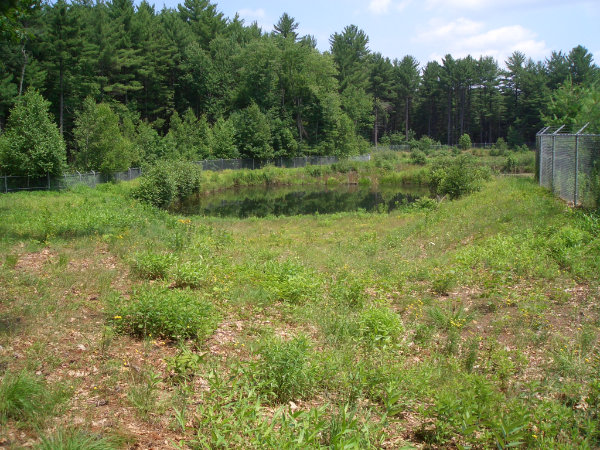
Best Management Practices
Parts of the Pennichuck Watershed contain some of the most developed land in the state, much of which was developed between 1960 and 1990, before best management practices (BMPs) to treat water quality were required or used. To address the challenge of existing pollution, Pennichuck has been involved in the design, construction, and continued maintenance of several stormwater BMPs within the watershed. This layer identifies the location of these BMPs and also provides a photo and description of each.
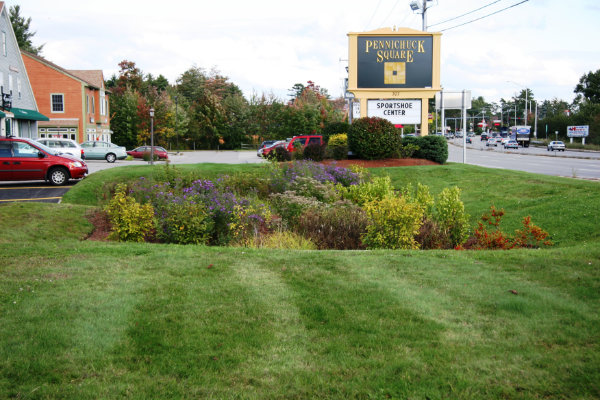
Site Name: Pennichuck Square
BMP Type: Low Impact Development / Infiltration
Tributary: Pennichuck Brook
Subwatershed: Pennichuck Brook to Holts Pond
Town: Merrimack
Pollutants Addressed: Total Suspended Solids, Nitrogen, Phosphorous, Metals
Pennichuck Square Q&A (opens in pdf 35 KB)
Press release about Pennichuck Square (opens in pdf 35 KB)
Case Study on Low Impact Development (opens in pdf 222 KB)
Site Name: Celina Avenue
BMP Type: Sediment Trap and Swale
Tributary: Pennichuck Brook
Subwatershed: Pennichuck Brook to Holts Pond
Town: Nashua
Pollutants Addressed: Total Suspended Solids, Nitrogen, Phosphorous
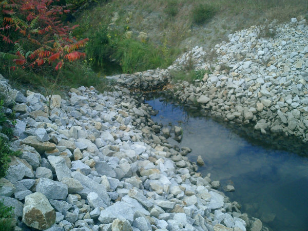
Site Name: Cornerstone Site
BMP Type: Detention Basin
Tributary: Boire Field Brook
Subwatershed: Boire Field Brook
Town: Nashua
Pollutants Addressed: Nitrogen, Phosphorous, Metals
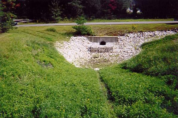
Site Name: Tinker Road
BMP Type: Wet Pond, Wetlands & Filter Berm
Tributary: Pennichuck Brook
Subwatershed: Pennichuck Brook to Supply Pond
Town: Nashua
Pollutants Addressed: Total Suspended Solids, Nitrogen, Phosphorous, Metals, Pathogens
Site Name: Nashua Community Technical College
BMP Type: Wet Detention Pond
Tributary: Pennichuck Brook
Subwatershed: Pennichuck Brook to Bowers Pond
Town: Nashua
Pollutants Addressed: Total Suspended Solids, Nitrogen, Phosphorous, Metals, Pathogens
For assistance in reading or understanding the information on this page, call us at (800) 553-5191.